
File: USYD Map.png
No edit summary |
No edit summary |
||
| Line 6: | Line 6: | ||
| other_versions = | | other_versions = | ||
| additional_information = }} | | additional_information = }} | ||
{{Cc-by-sa-4.0}} | |||
Latest revision as of 13:31, 14 May 2019
| Description |
Location of the John Woolley Building |
|---|---|
| Source | |
| Date |
2019-05-14 |
| Author |
OpenStreetMap contributors
|
| This work is licensed under the Creative Commons Attribution-ShareAlike 4.0 International License. |
File history
Click on a date/time to view the file as it appeared at that time.
| Date/Time | Thumbnail | Dimensions | User | Comment | |
|---|---|---|---|---|---|
| current | 13:15, 14 May 2019 | 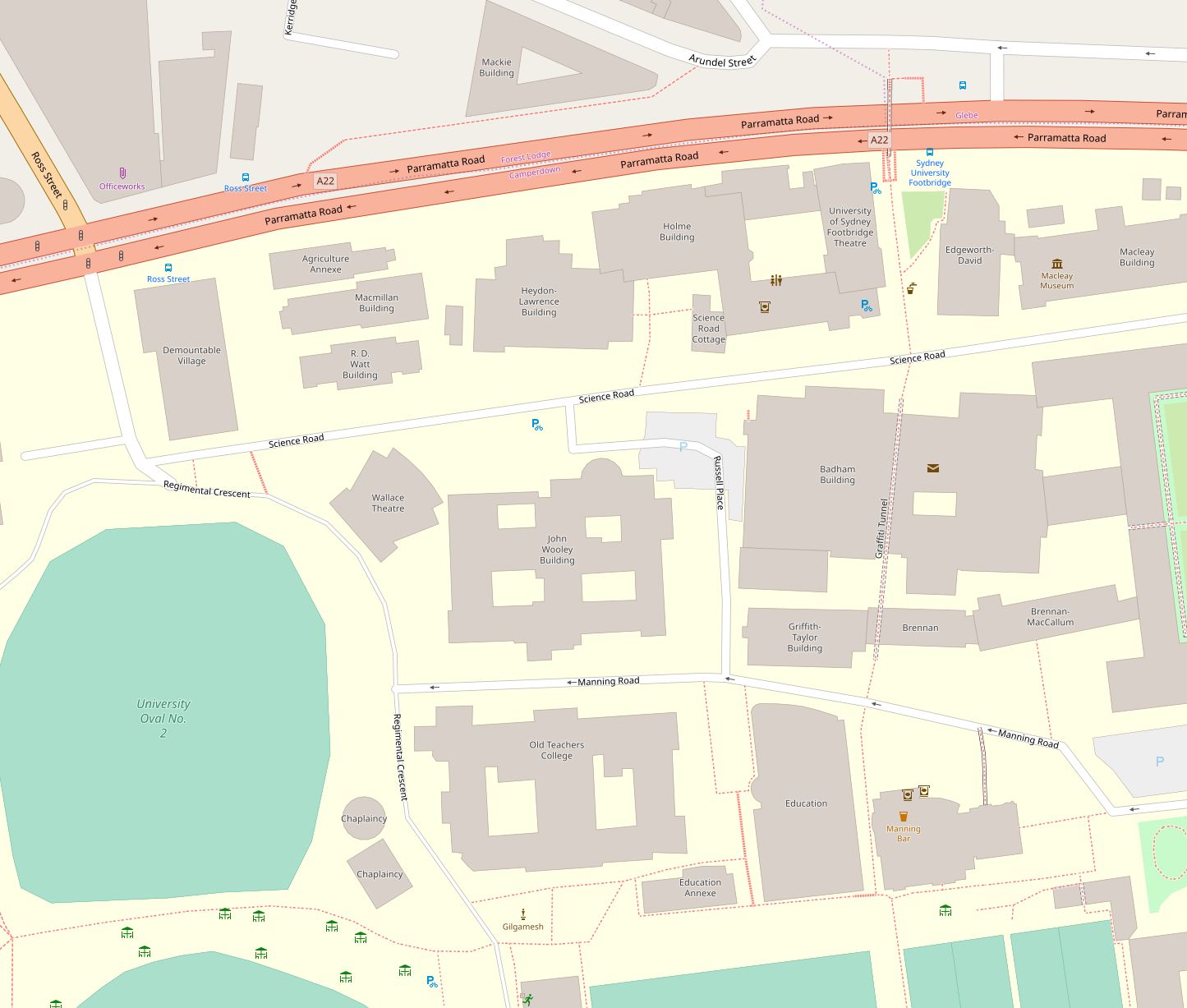 | 1,445 × 1,227 (419 KB) | Bidgee (talk | contribs) | {{File information | description = | source = https://www.openstreetmap.org/#map=17/-33.88630/151.18633 | date = | author = | other_versions = | additional_information = }} |
You cannot overwrite this file.
File usage
There are no pages that use this file.